Division of Air Pollution Control
PM 2.5 Monitors
Lawrence County PM 2.5 Monitors
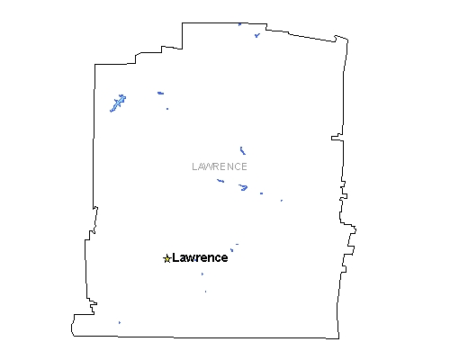
Lawrence Monitoring Site |
|
| AIRS Identification Number: | 470990002 |
|---|---|
| County: | Lawrence |
| Forecast Area: | Other Counties Monitor |
| Land Usage: | Agricultural |
| Elevation: (Above Mean Sea Level) |
827 feet (252.07 meters) |
| Latitude: (Degrees) |
35.1158 (35°6'34.8" N) |
| Longitude: (Degrees) |
-87.47 (87°28'60" W) |
| Years of Operation: | 2 years |
| Operated by: | Tennessee Department of Environment and Conservation |
Governor Bill Haslam
Follow Us On
Featured Sites
Fleming Training CenterOutreach Initiatives
Tennessee State Parks
TVA Kingston Update
TN Environmental Conference