

GIS: Downloadable Data
Downloadable Data
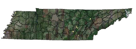
For your convenience, you can download trails and boundaries of TN State Parks and Natural Areas, in two different format types. Please check back often as these files are updated on a regular basis. The first format is a shapefile. Shapefiles are common files in GIS and can be used in various products such as ArcView 3.x and ArcMap. You will need to download the zipped file and extract the files using 7-zip, WinZip, or a similar product.
The second format is a KML file that can be imported straight into Google Earth. You will need to save the file to your local drive, open Google Earth, click File, and Open, locating the file on your local drive.
Although the data provided are believed to be reliable, no warranty expressed or implied is made regarding accuracy, adequacy, completeness, legality, reliability or usefulness of any information. All warranties of any kind express or implied, including but not limited the implied warranties of merchantability, fitness for a particular purpose, freedom from contamination by computer viruses and non-infringement of proprietary rights ARE DISCLAIMED. Changes may be periodically added to the information herein; these changes may or may not be incorporated in any new version of the publication. If you have obtained information from a source other than the Tennessee State Parks Office of GIS, be aware that electronic data can be altered subsequent to original distribution. Data can also quickly become out-of-date. It is recommended that careful attention is paid to the contents of any metadata associated with a file, and that the originator of the data or information be contacted with any questions regarding appropriate use. If you find any errors or omissions, we encourage you to report them to the Tennessee State Parks Office of GIS.
